North to Yukon

July 12th Staying put in Windermere

Today, Becky and Dave ran the Invermere triathlon.   Their times were excellent and we had the opportunity to photograph them at various stages – swimming preparation, heading out on the bicycle for 40k circuit through Invermere  and charging in from the 10k run.  After a brief recuperation time and dinner at Radium, we went to visit Nipika, an outdoor wilderness resort that borders the Kootenay river and Kootenay National park.  The property is owned by my cousin Diane and her husband.  It’s a spectacular piece of property with many miles of trails, and a variety of outdoor activities and/or lessons.  Tonight we begin the preparation for the last leg – a trip to Calgary.

July 11 To Windermere, bc

imageimageimageThe day started off a little rocky – it was foggy and smoky, from fires, in Jasper, and the Gps was reporting our trip would take 635 km and it headed us north in order to go south to Lake Louise, and eventually to Windermere.  Imagine, in this day and age having to rely on a ‘map’ but that’s exactly what we did.  Eventually the air cleared and and we stopped at a few turnouts and photographed the beautiful lakes, glaciers and mountains of the Columbian ice fields.  Then, we got the gps working properly and discovered our trip was only 395 km and we had lots of time to kill.  We stopped in Golden for a Ranch style lunch and then again in Radium for gas and coffee.  We visited the hot springs but they were very busy so we  tookt our rest photographing the people on the 1 metre diving board.  Our trip ended at Windermere at a B&B that comprised of a beautiful   1887 cabin that has been fully modernized inside.  It is delightful.  The driving today was all the twists and turns you would expect from mountain driving although there was definitely congestion at many points along the route.   At one point, we reached 2015 metres above sea level and the mountain peaks surrounded us from all sides.  We spotted elk today outside Jasper and mountain sheep near Golden.  A reunion with our daughter and her hubby made today’s journey complete.imageimageimageimageimageimageimageimage image image image image image image image image image image image

July 10. From Dawson Creek to Jasper

image imagekinda tricky losing an hour as we skip into Rose country.  It puts your planning off just a touch.  We didn’t want to arrive too late at the B&B nor did we want to pass up an opportunity to walk the streets of Jasper.  Rather smoky for the first couple of hours today but things were bright and clear by the time we reached Grande Prairie.  Nearing Grande Cache, we encountered a large generating plant and coal mining operation.  The backhoes were excavating right out of the side of the mountain leaving nothing but gravel. From there the road seemed to climb steadily until we reached an altitude of 1450 metres and that was just in the foothills.  Saw a similar road construction backhoe carving gravel out of the side of a mountain – had to be perched 300 metres up the mountainside.  Traffic was heavy all day and that certainly distracted us from animal watching but the only wildlife we spotted was a single stag elk surrounded by 5 to 10 cars and people mingling all around, as we entered JAsper.  Today we didn’t bother to wash the bike – there’s lots of bugs but no construction dust.  It was fun to sightsee while walking among the hordes of tourists in Jasper.  Tomorrow is a long day and we have a deadline to be in Windermere.  The threat of thunderstorms will keep us watching the clock.

July 9th Fort Nelson to Dawson Creek

The long and short of this trip.  We travelled over 300 km in smoke from forest fires and 235 Km in construction, or busy traffic.  Saw no wildlife except for the few people inhabiting the breakfast coffee shop. As a result, no pics to show.  ,it rained for the first hour after the firefighters opened the road 80 km south of Fort Nelson but we still saw flickering flames as we followed the pilot car through the smoky ruins.

July 8th – off to Dawson Creek

image image image image image image image
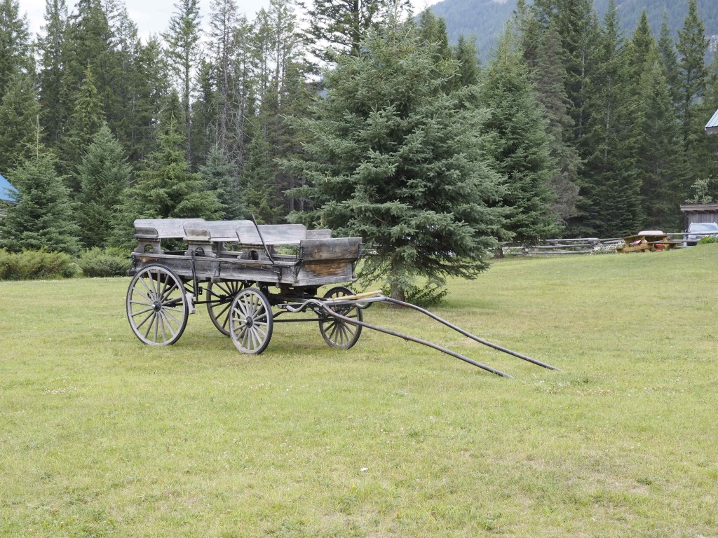
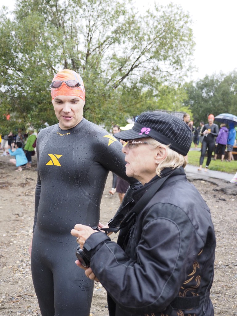
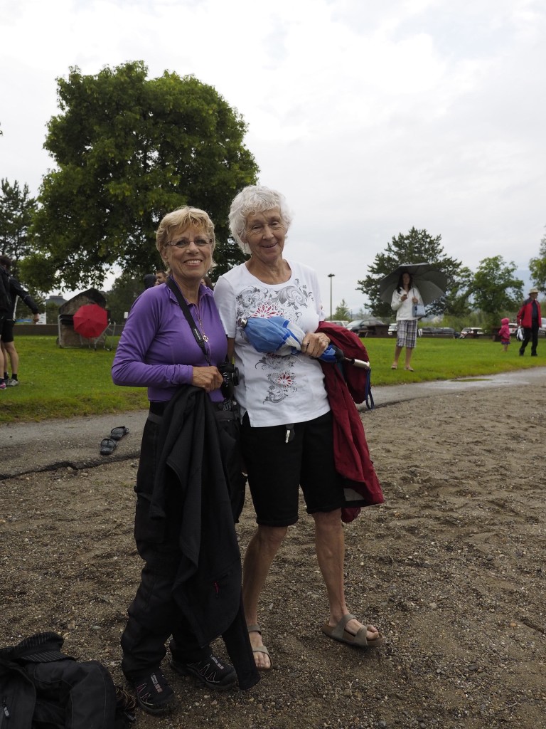
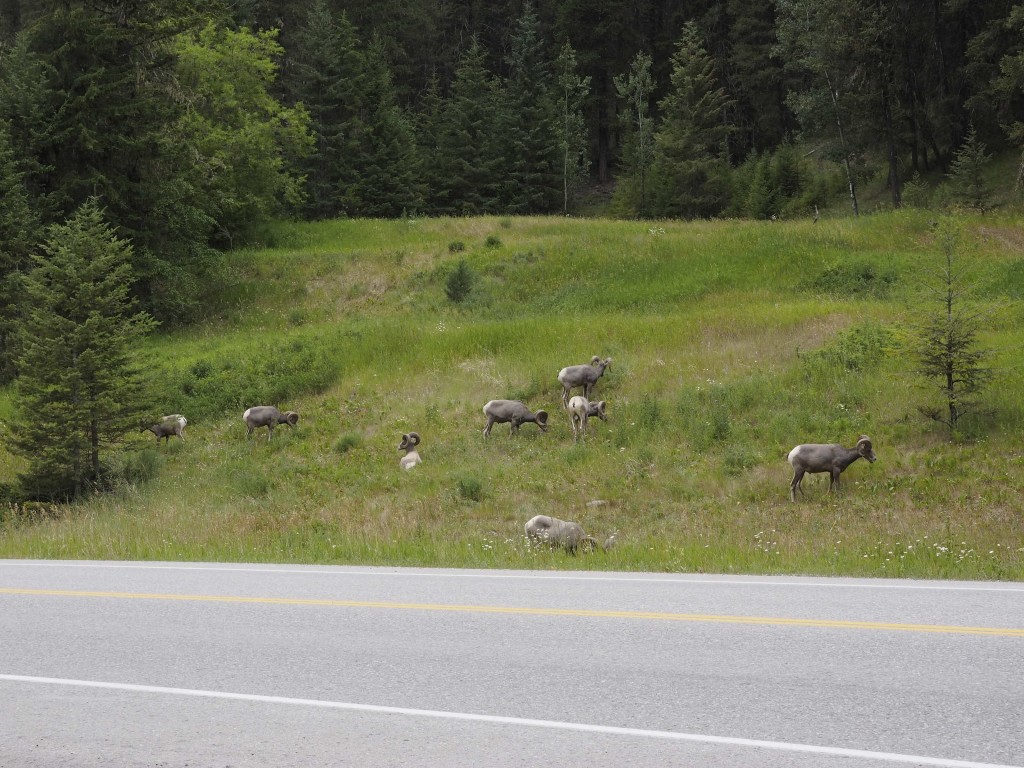
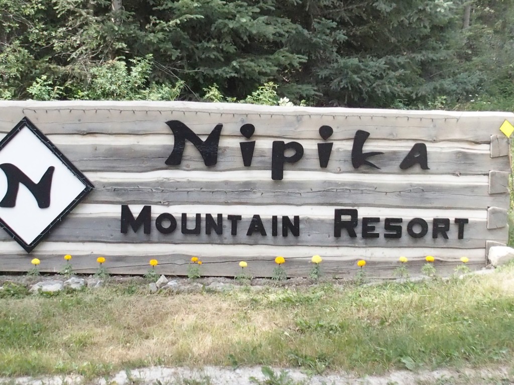
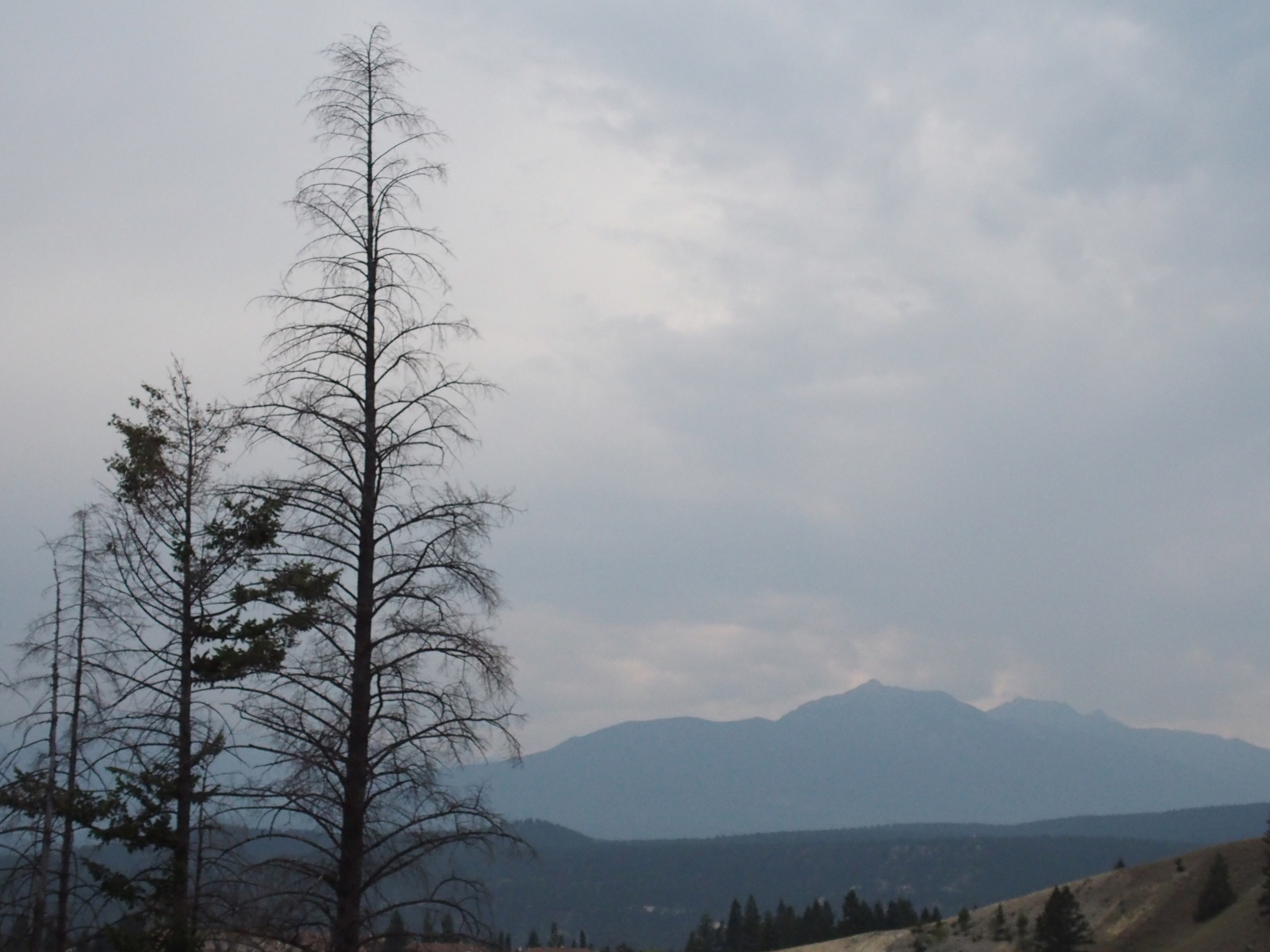
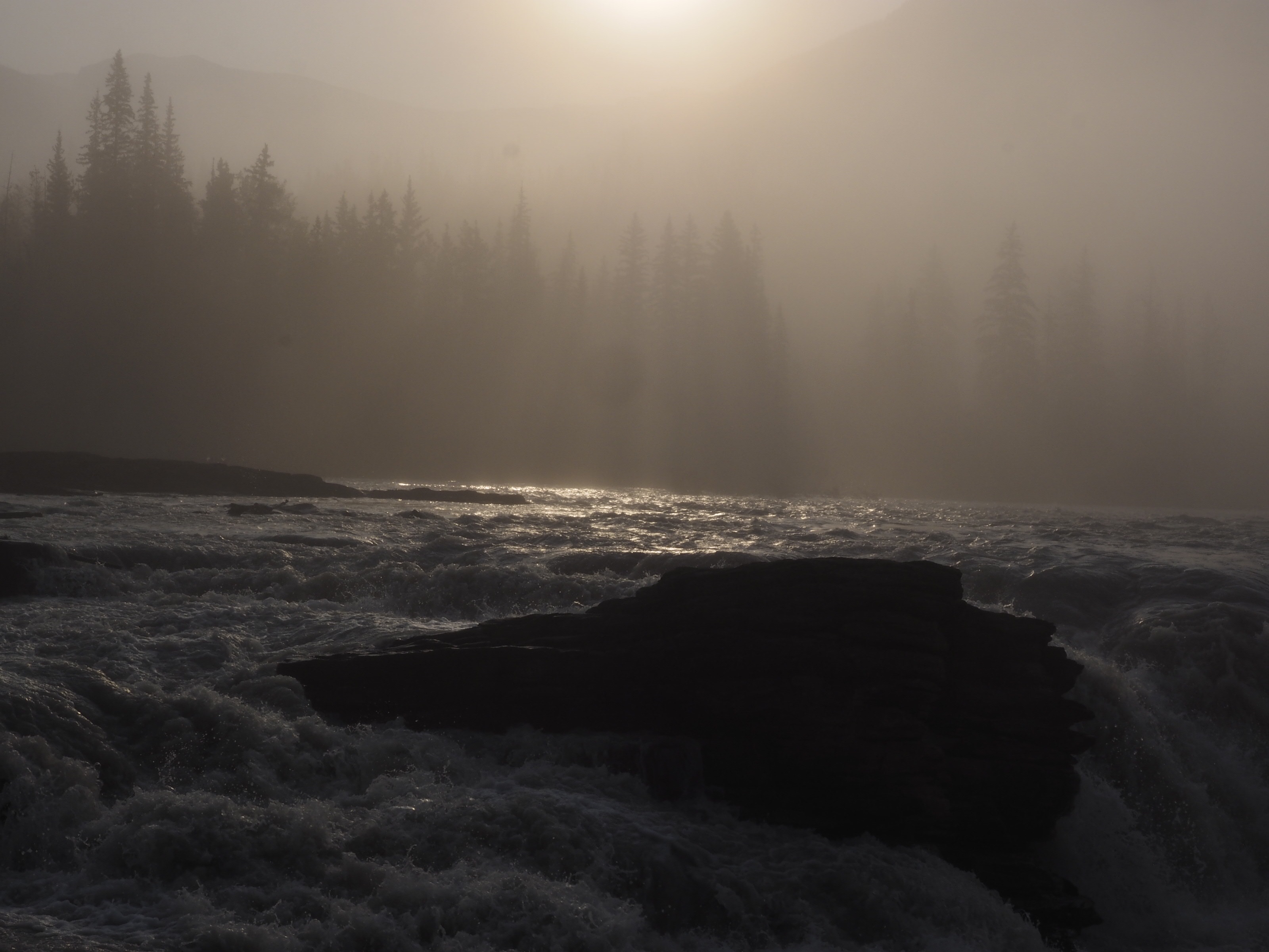
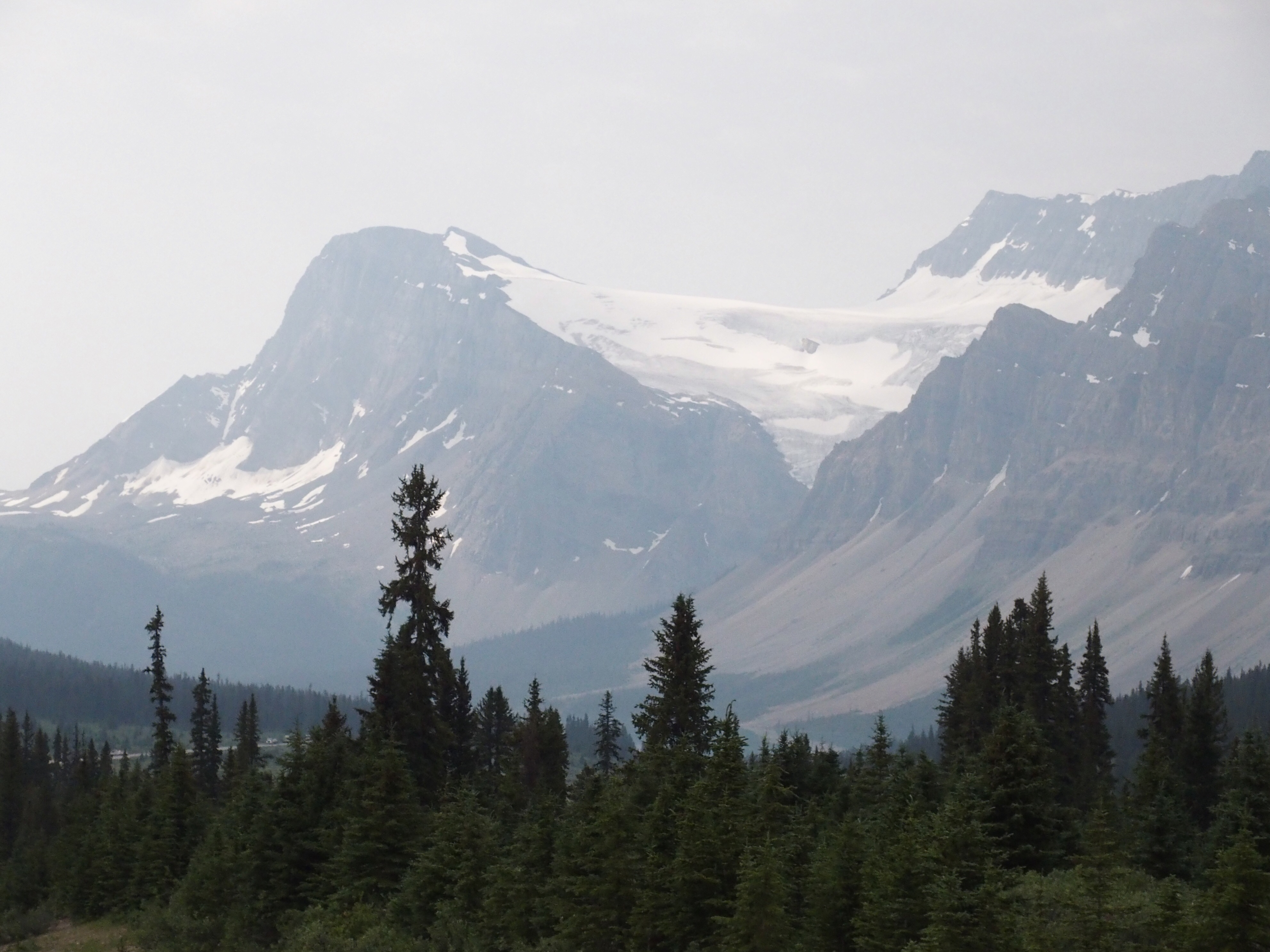
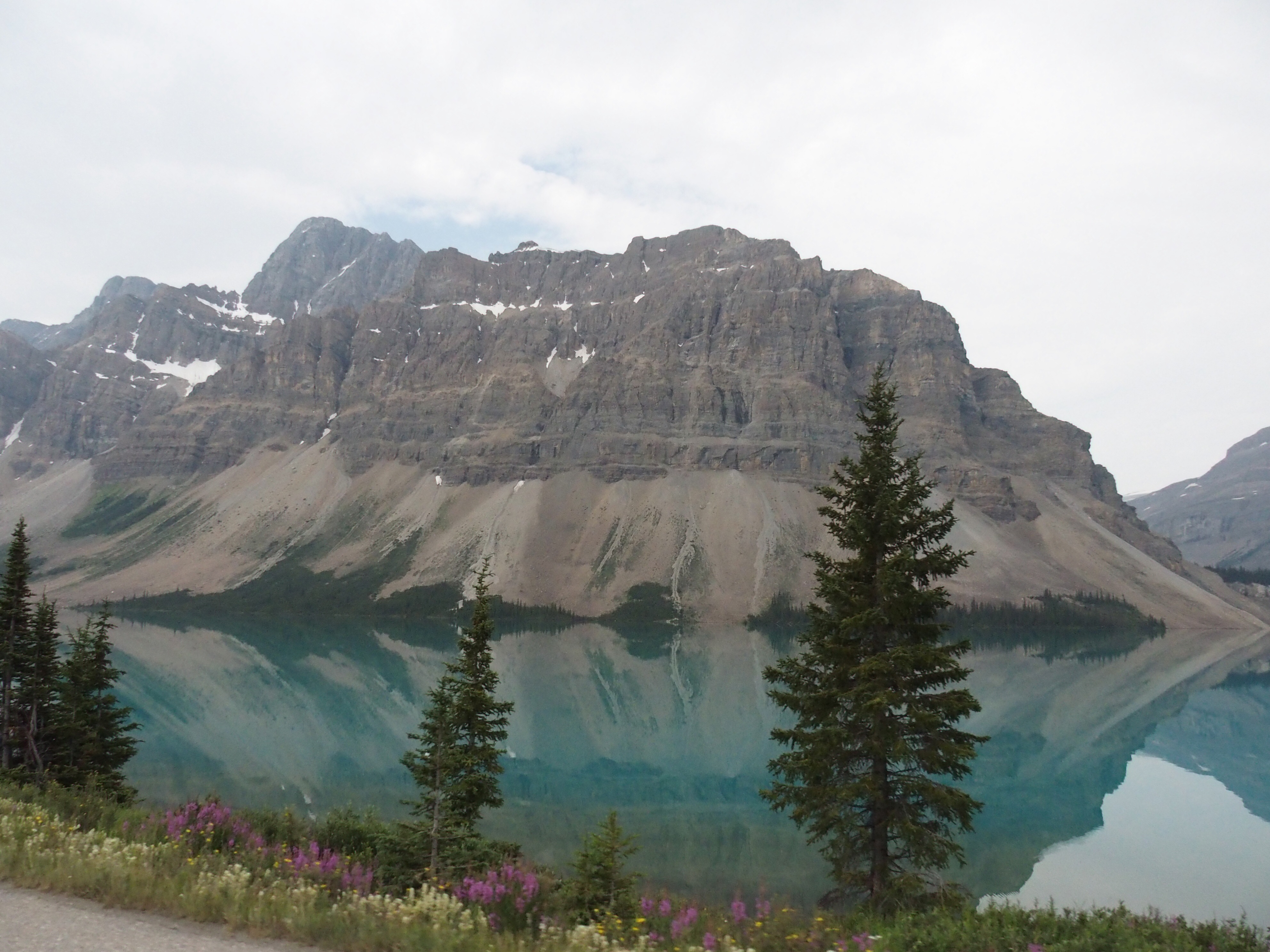
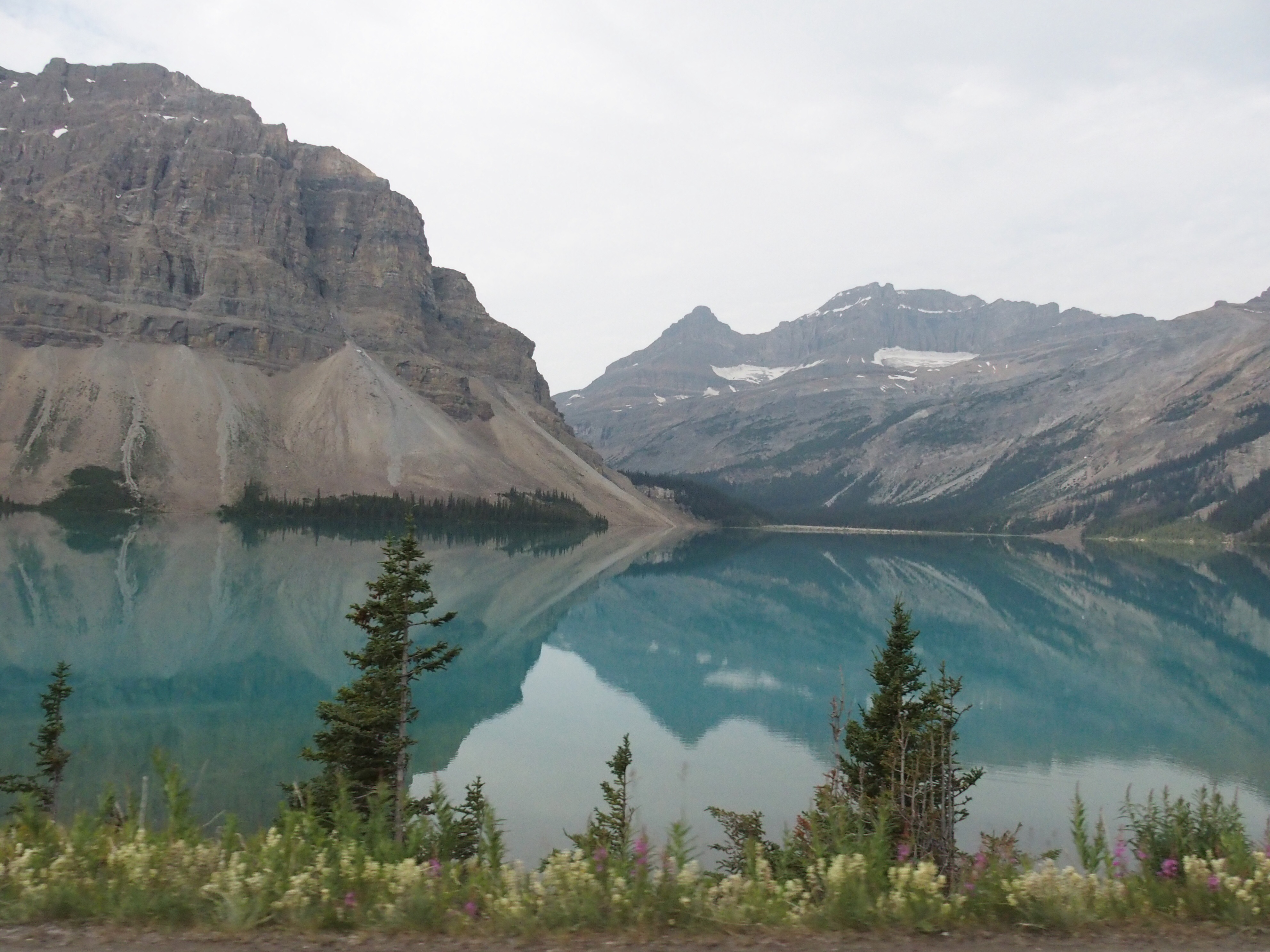
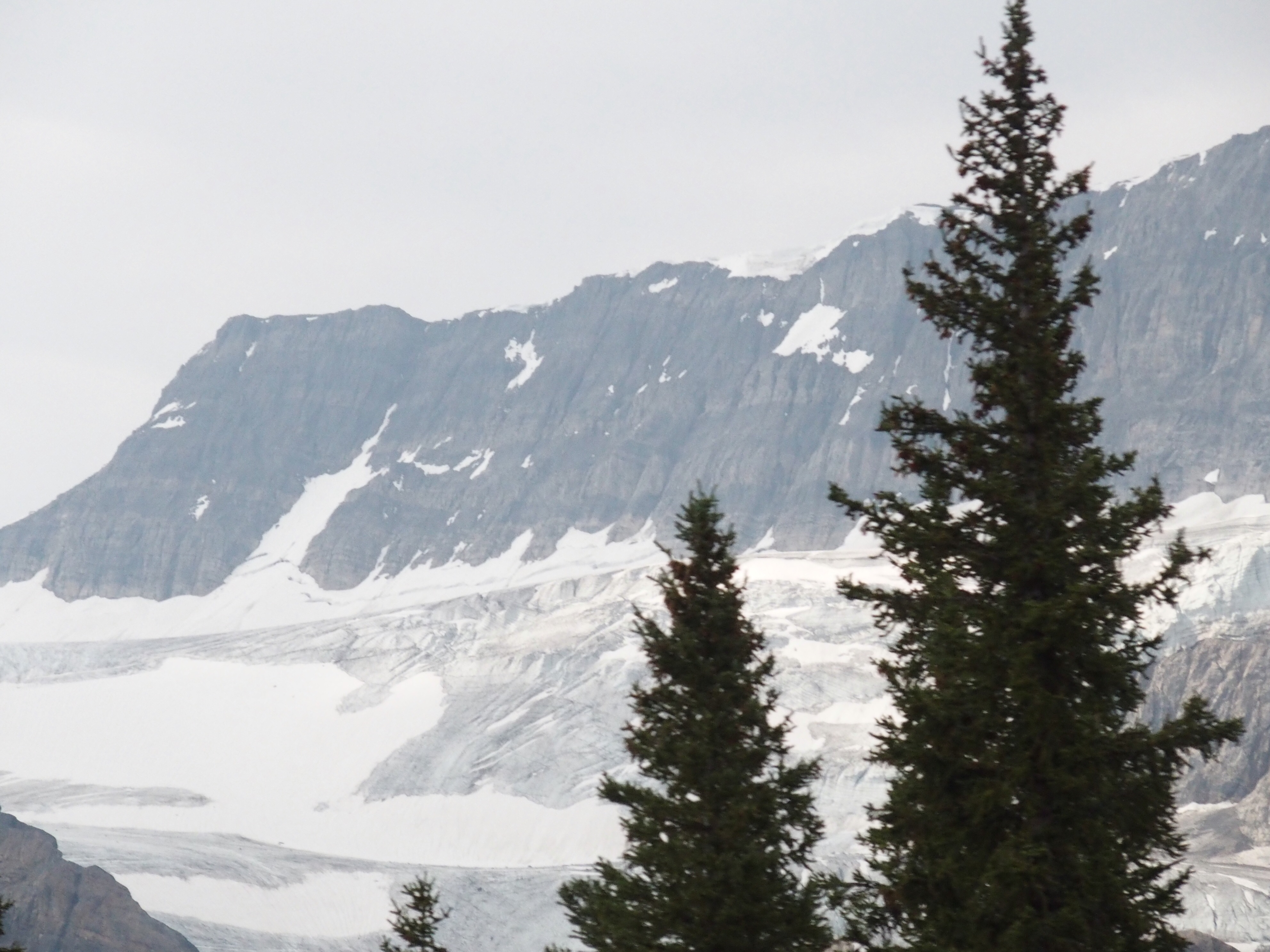
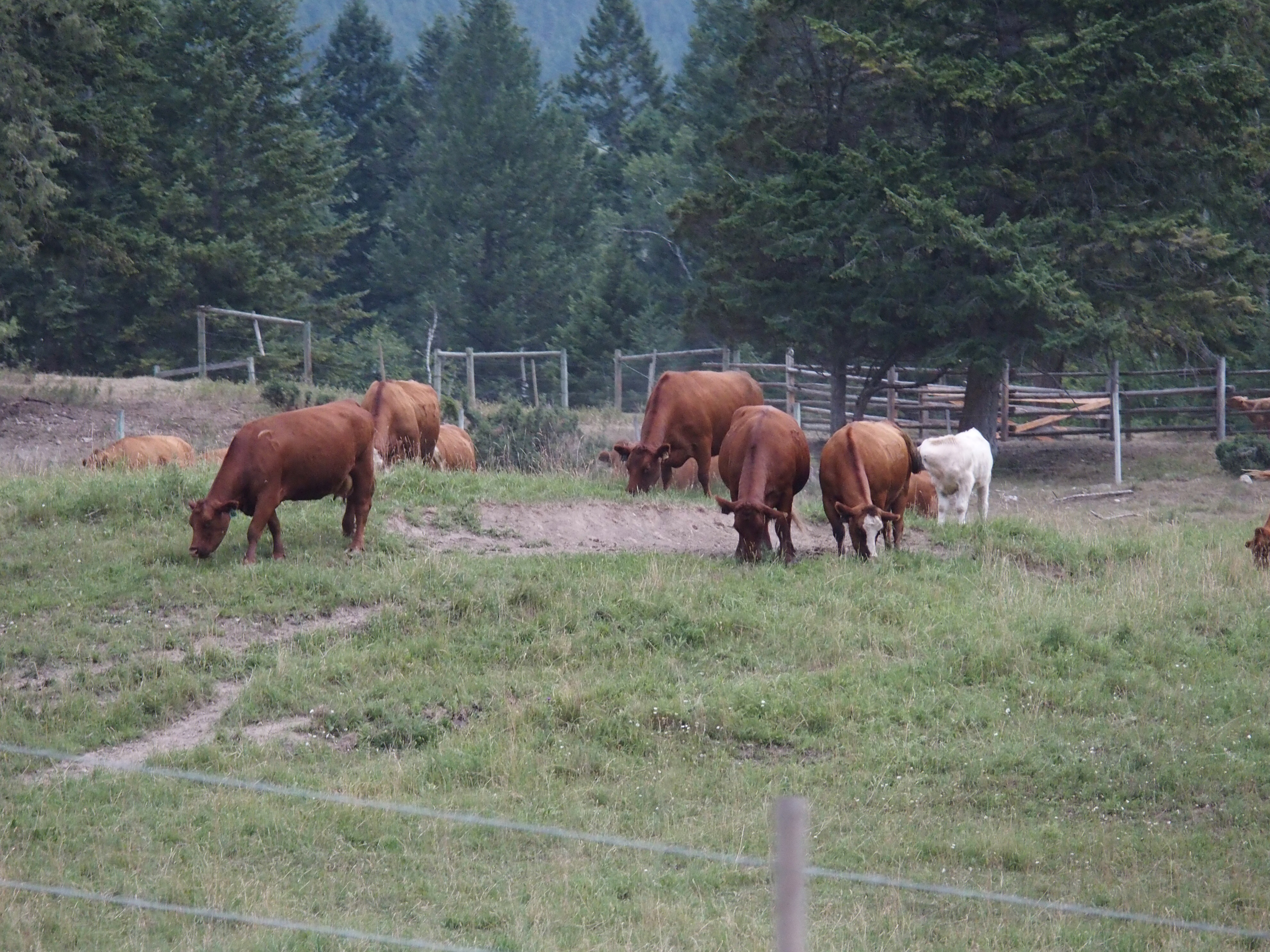
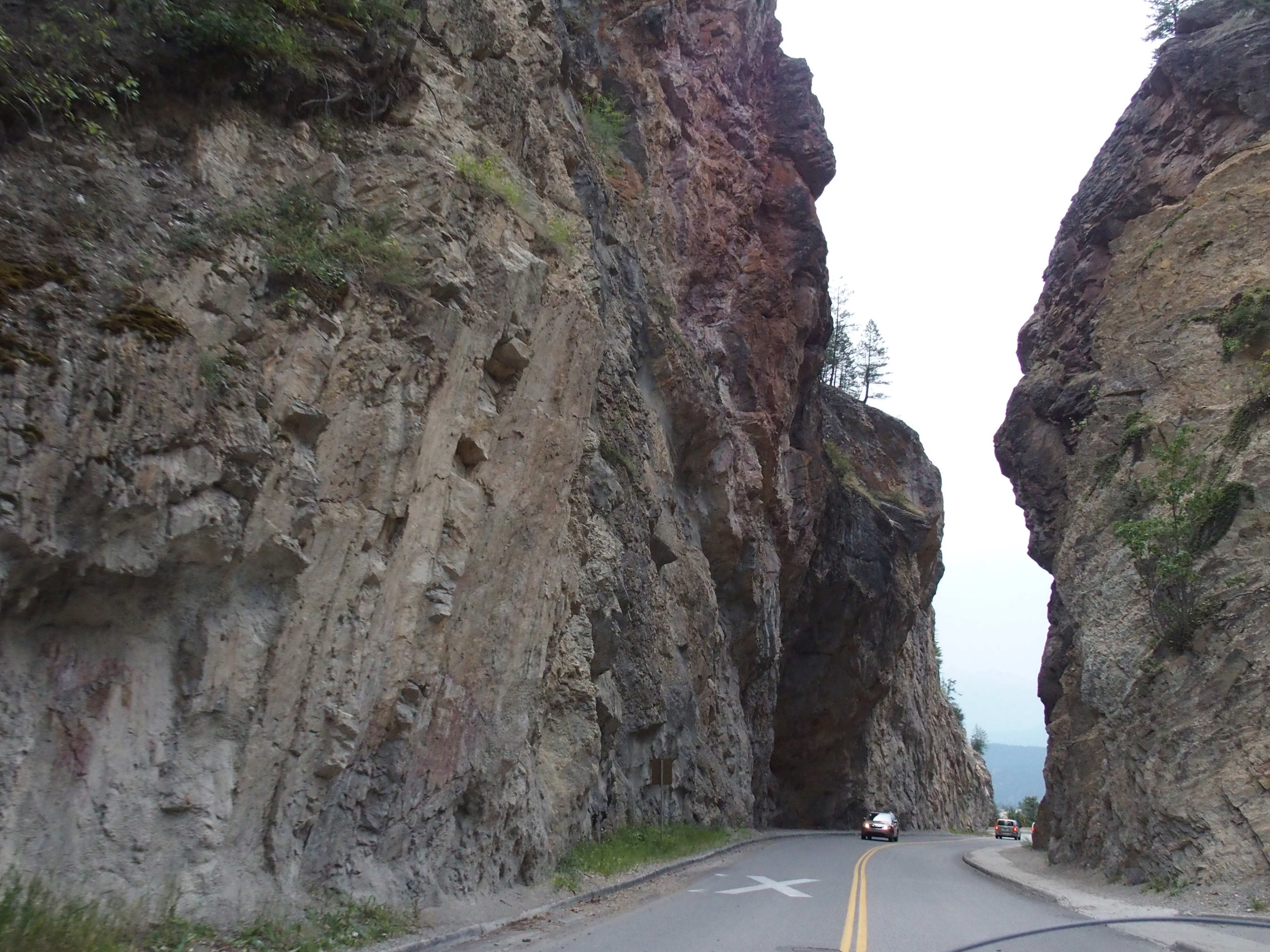
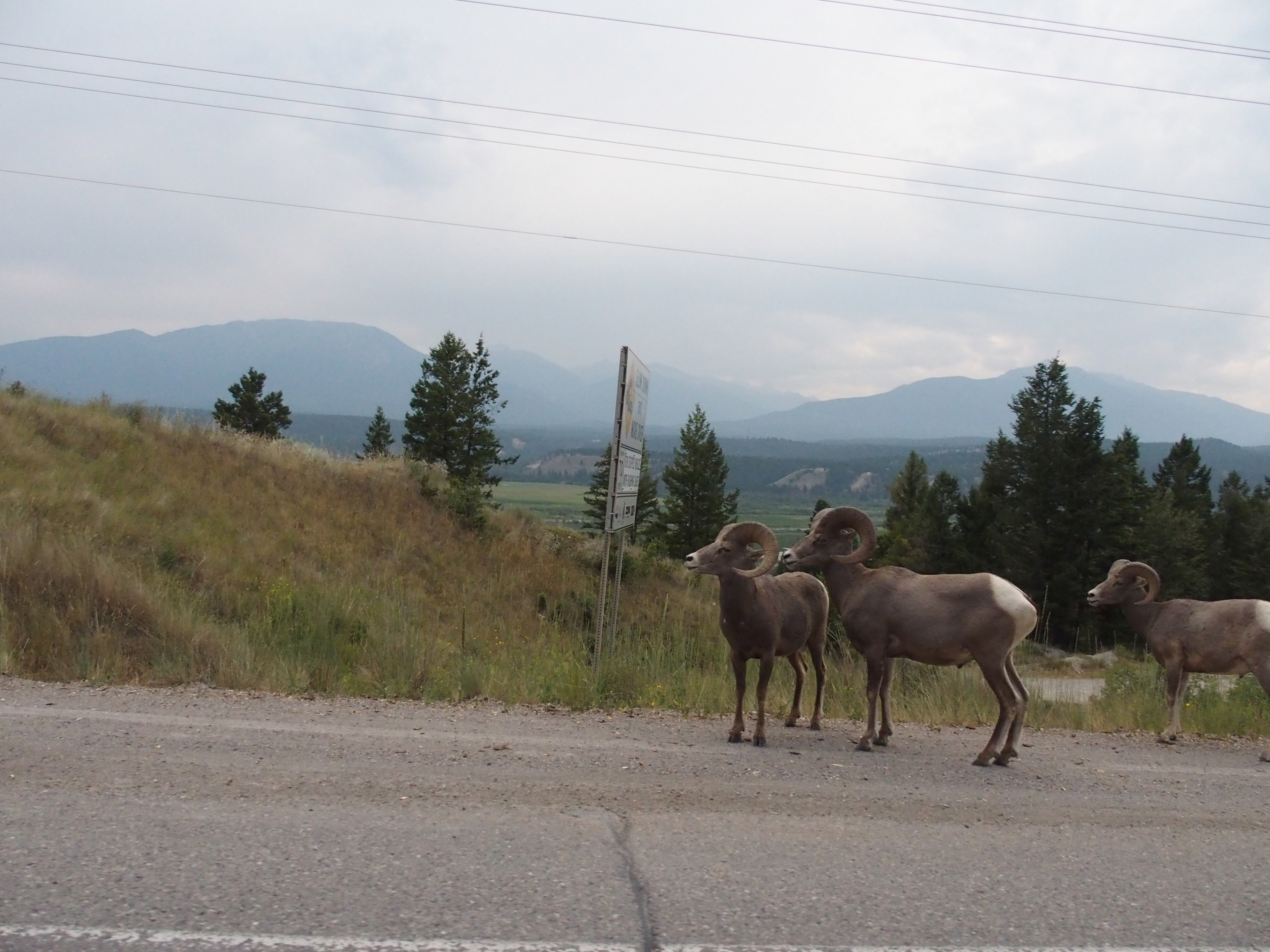
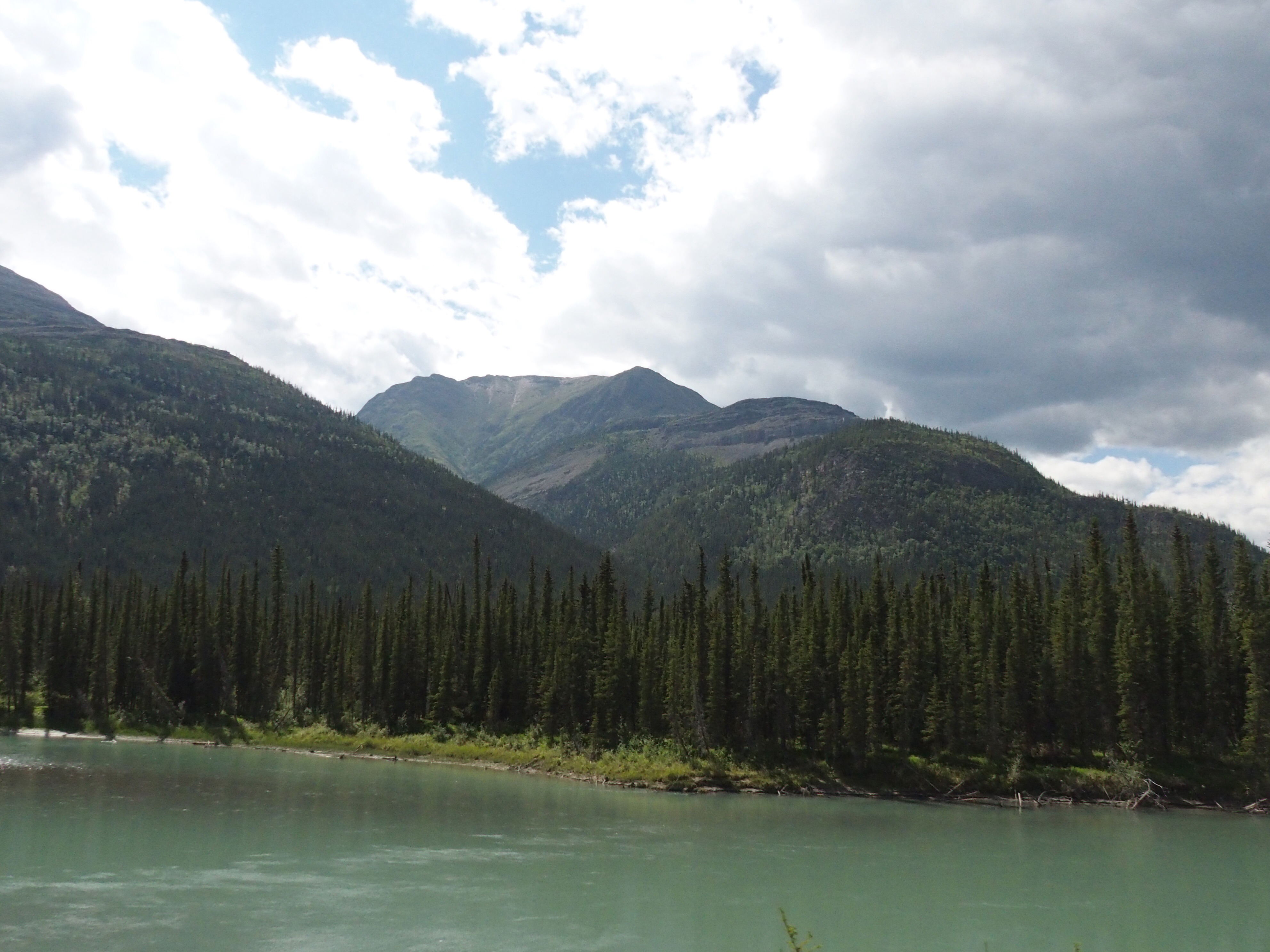
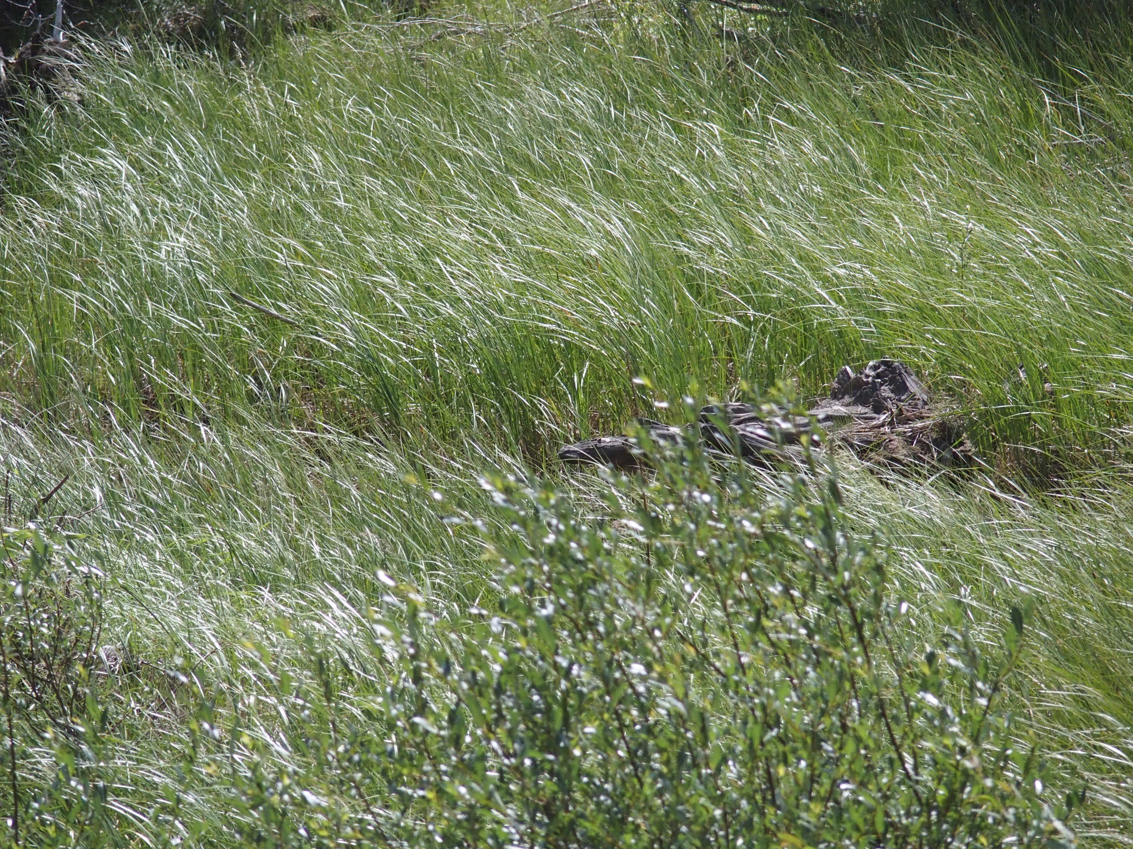
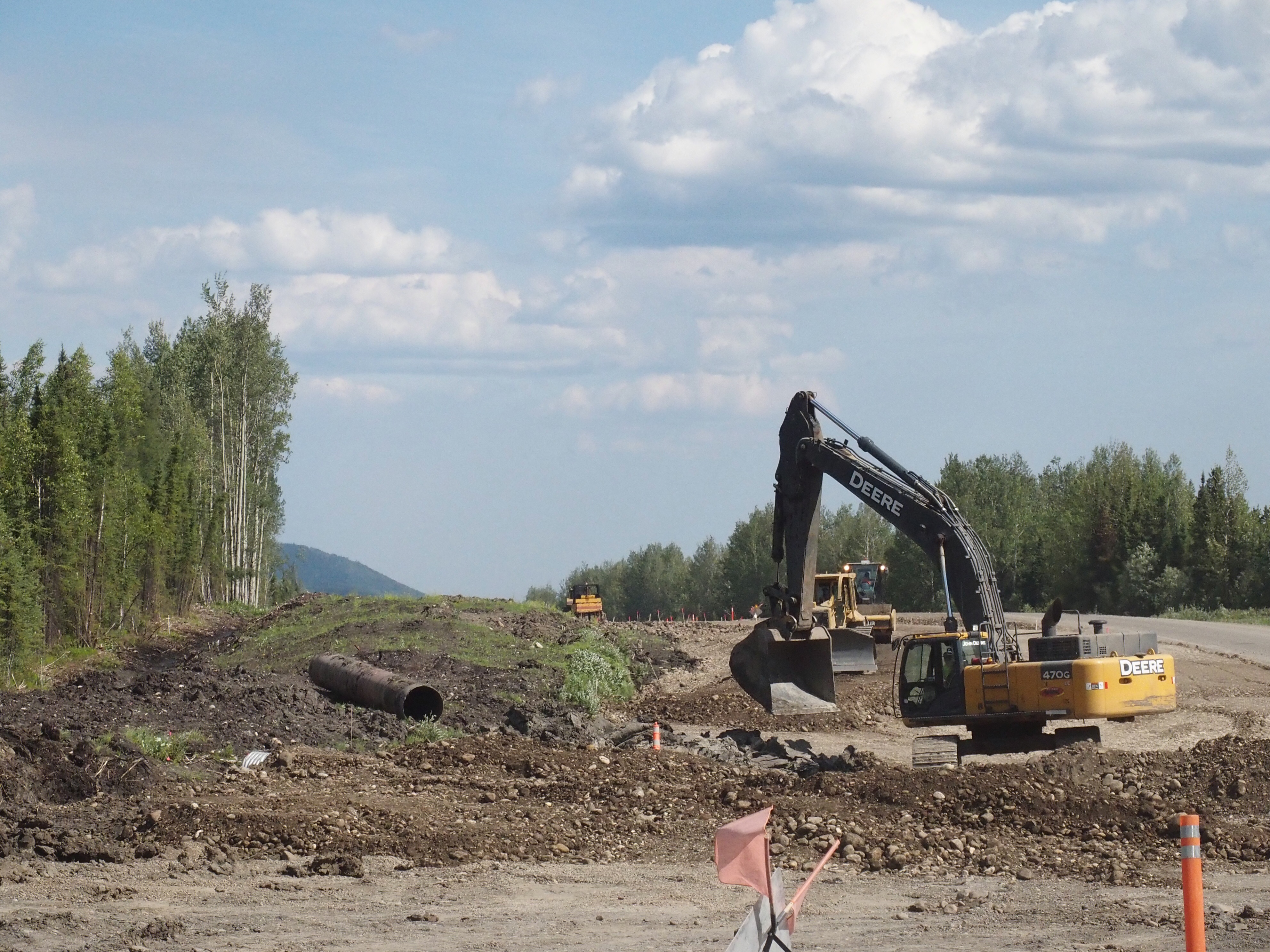
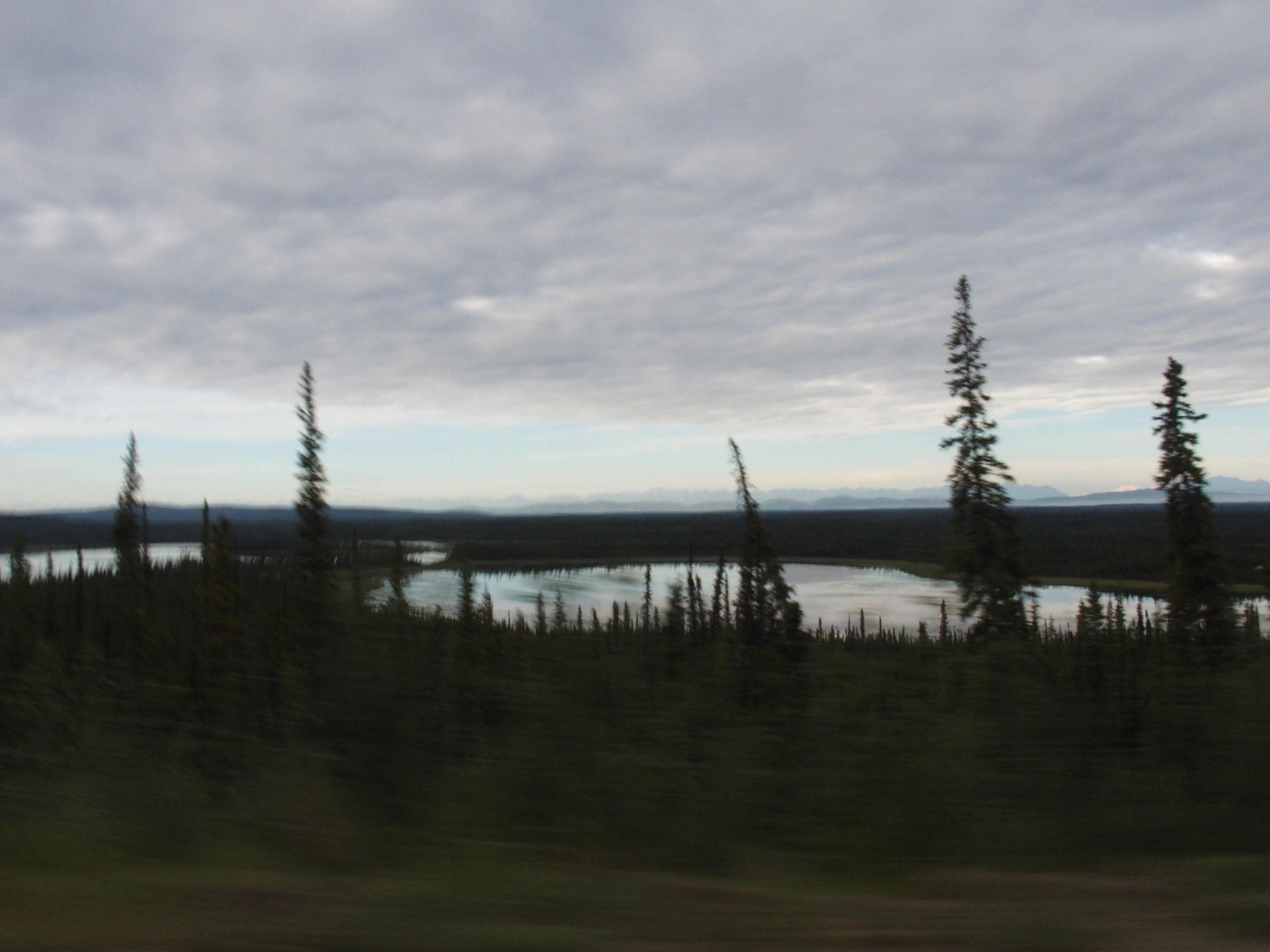
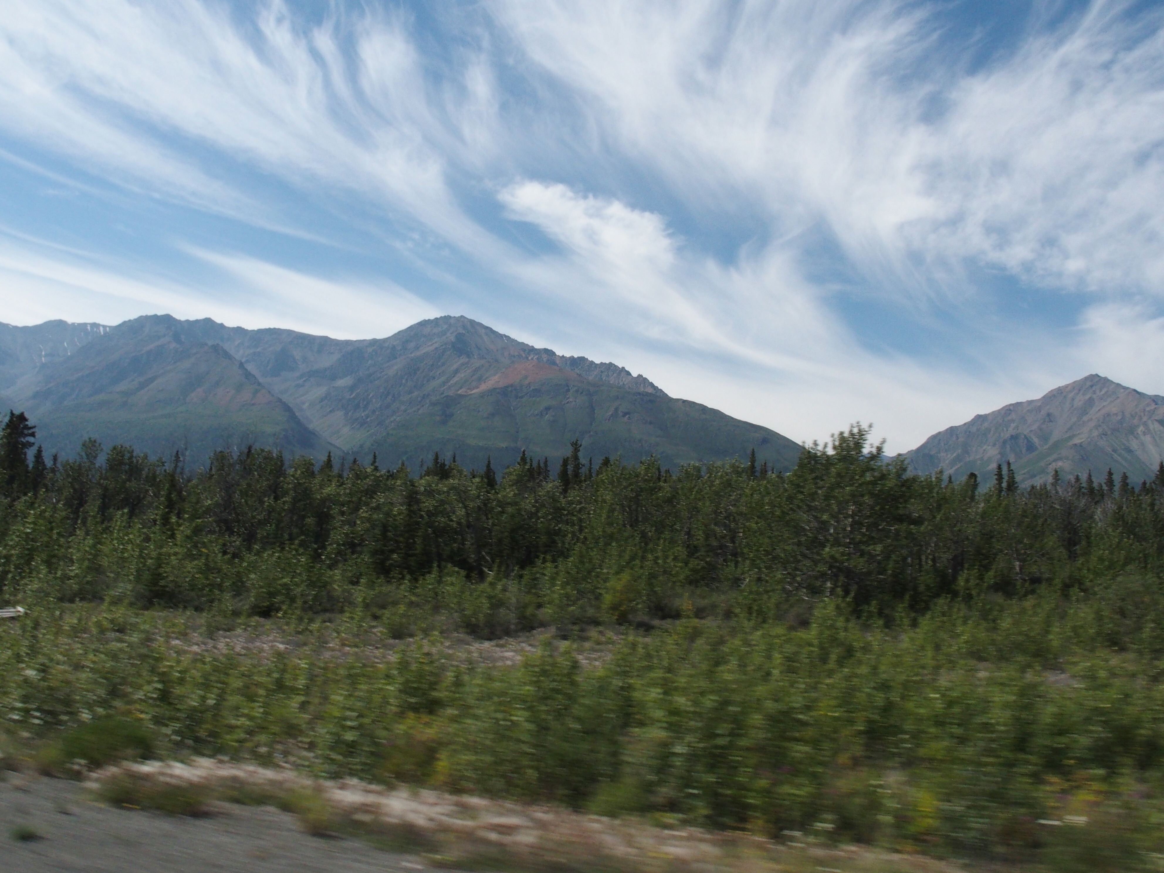
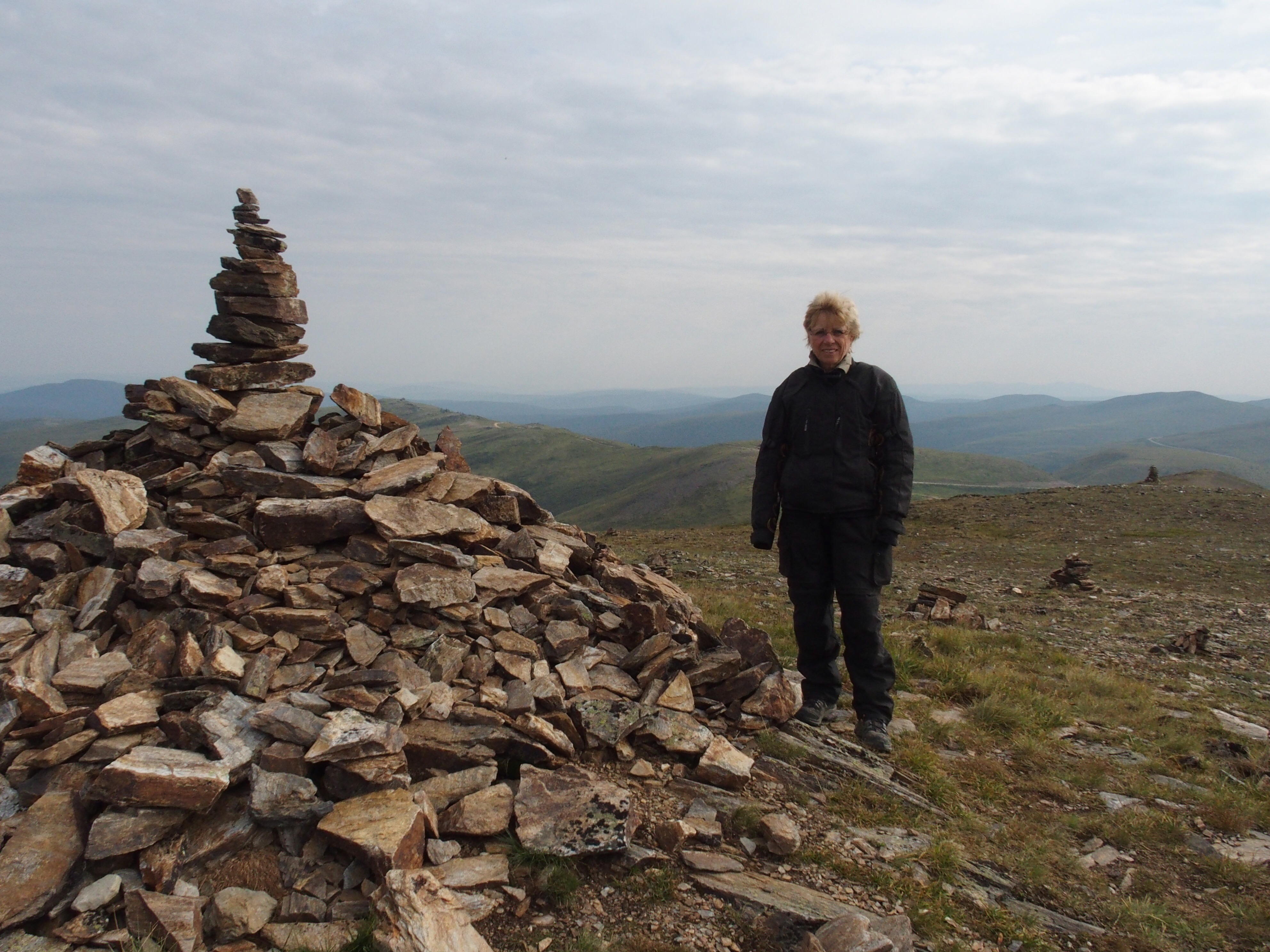
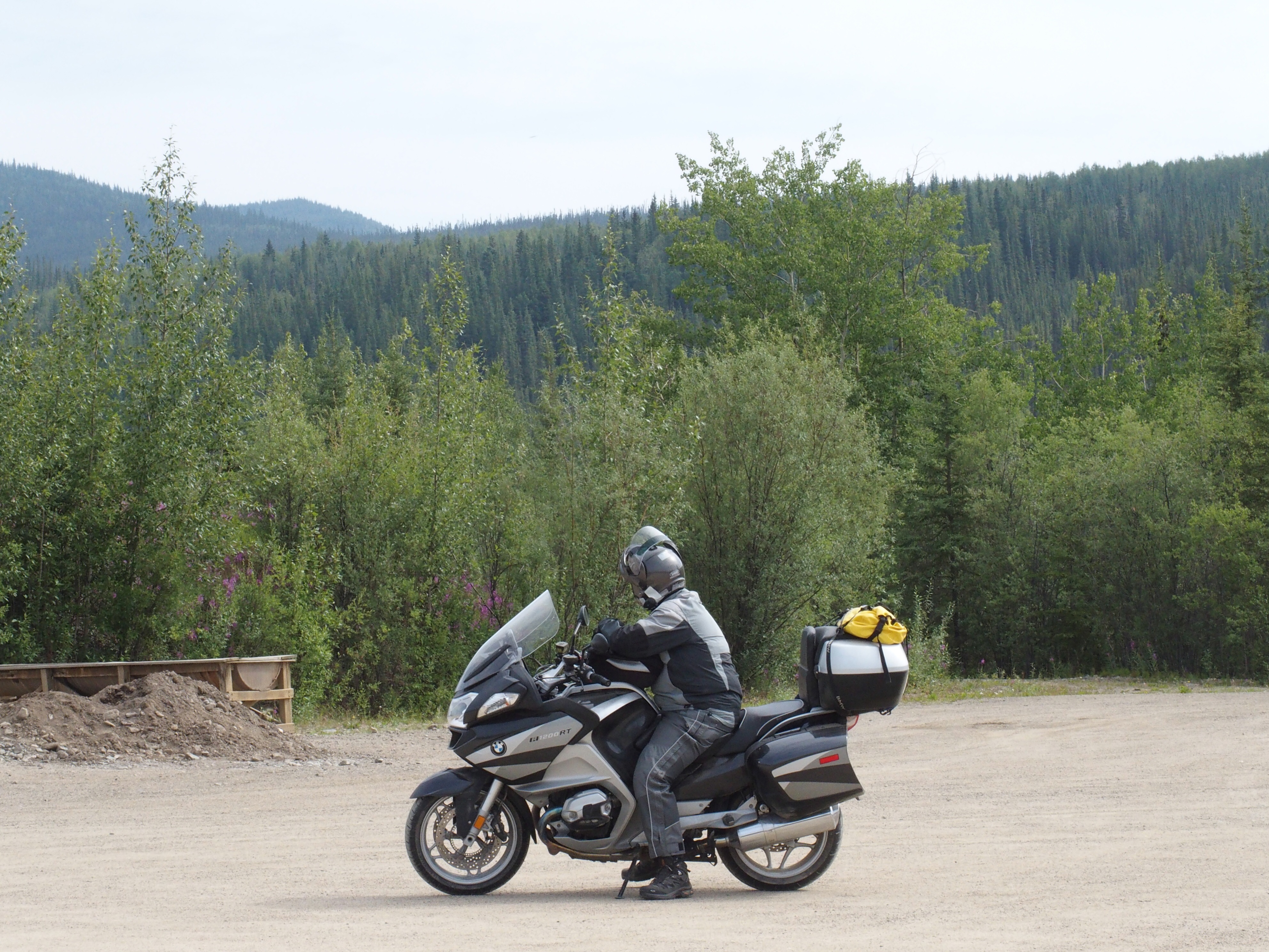
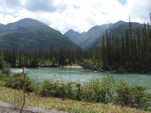
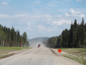
Well the sleep at The Big Horn wasn’t the best.  it was exceedingly hot and we didn’t dare to open up the window due to the smoke in the air from forest fires.  So, we headed out early and struck out for our first stop – 2 hours away at the Liard River hot springs.  They were HOT and just the relief we needed.  We then headed 60km further to the Double G restaurant at Muncho Lake Provincial Park.  Jack is the owner and he is an acquaintance of Tracy, our waitress at Kathy’s Kitchen in Watson Lake, the night previous.  After a relaxing Chin-wag session with Jack and his trucker friend, we were ready to move on.  This whole time, we had driven through hours of smoke-covered countryside.  Shari spotted several small herds of Bison.  After our brunch stop, however, the air cleared and we had the best ride we’ve experienced to date.   We had mountain climbs, twisty roads, roads that wound past the Muncho Lake for miles, with no vehicles in front or behind – I could only wish my biking buddies were with me to enjoy the trip.  and, yes, we had lots of road construction but nothing too serious.  The trip lasted for hours but seemed to end too quickly.  As we neared Fort Nelson, we were back to flat prairie like country and more fire smoke. In fact, the road is closed south of Fort Nelson and so we have our fingers crossed we can leave tomorrow.  Along the way today, besides Bison, which luckily didn’t block the road, were small herds of Stone sheep, with the lambs scampering up and down the mountain sides but never leaving the Ewes for any duration.  In all, a great day.

July 7th – Haines Junction to Watson Lake

today was long but easy going.  No road construction and we zipped along at a good speed the entire day. Kickstand’ up at 07:00 hrs and breakfast 150 km down the road at Whitehorse.  We lounged outside talking to a California government consultant and then made our way to Teslin where theimagey make great cinnamon buns.   This first half of the trip was by far the most interesting as Shari spotted a porcupine in a tree, a brown bear, and a grizzly with 2 Cubs.   I didn’t dare to slow down near the Grizzlies – they looked hungry.  Along the road, hundreds of ground squirrels were sunning themselves on the road.  One immature eagle captured one and flew alongside the bike for several hundred metres.  By early afternoon, no wildlife was evident besides one brown bear.  We checked in to the same hotel room we used 5 days ago.image

Discovered en route a very strange manner of conveyance for these parts and so Shari took a photo along with a another old antique building

July 6th Tok to Haines Junction

image image image imagewe started out early and drove almost 2 hours to Beaver Creek before we stopped for breakfast.  Driving was poor and didn’t improve until we were passed Destruction Bay.    We arrived by 3:00 at Haines Junction and called Erni who gave us the code to enter our flat.  First time sleeping in a trundle bed.  Anyway, drove down the Haines Road to Kathleen Lake and then hiked up to a gravel glacier.   Dinner consisted of groceries purchased at a service station.  Food here is ultra expensive as most people have to shop at Whitehorse.  Wildlife spotted today consisted of a brown bear crossing the road and a Lynx that appeared to be hunting near the Marsh Lake highway.

July 5th On our way to Tok, Alaska

image image imageas usual we had the bike packed before 7 and then met Tracy for breakfast.  We then struck out and caught the ferry across the Klondike and started out on the Top of the World highway.   It climbed dramatically to well over 1100 metres.  Despite its reputation of being almost impassable, the highway was no worse than other gravel roads and much easier than the road from Whitehorse to Dawson – that was dangerous due to the construction and loose gravel.   As we approached Chicken, I was ready for a break and ended up drinking Expresso and talking to local artisan who sculpts with whale bones, antlers.  Leaving Chicken, we began a series of descents and significant evidence of placer gold mining showed up along river streams.  we ended up in Tok by early afternoon with not much planned.  Internet wasn’t available, the local helicopter pad was super busy, and TV was almost non existent but the local beer sure hit the spot.  Ended the night with Mexican food.  Wildlife today consisted of a scampering marmot and moose in the swamp just outside Chicken.

July 4th staying put in Dawson city

today Tracy started the day with an omelet, fruit, muffins and coffee.  We decided to use a guide to bus us to tombstone park on the Dempster highway.  Greg picked us up at 9:00, made a stop at the bakery for fresh bread for sandwiches and we travelled the 40 km to the Dempster turnoff and 107 km up the gravel road.  Road conditions were great but visibility of the mountains were blurred by lingering smoke and there was no wind to clear the air.   Still it was a good 7 hour day touring the park, the interpretive centre and doing our best to find wildlife.   (We had to settle for a dead penguin (kids toy), and a ground squirrel ).   We were accompanied by only one couple – Nancy and Bill from San Diego.  Supper tonight was at Klondike Kate’s restaurant (burgers and salad)